Delhi Ward Map

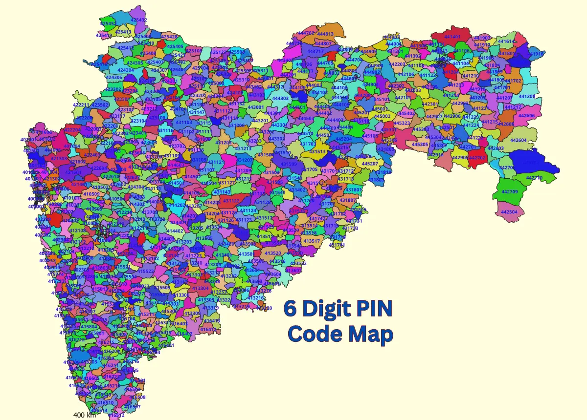
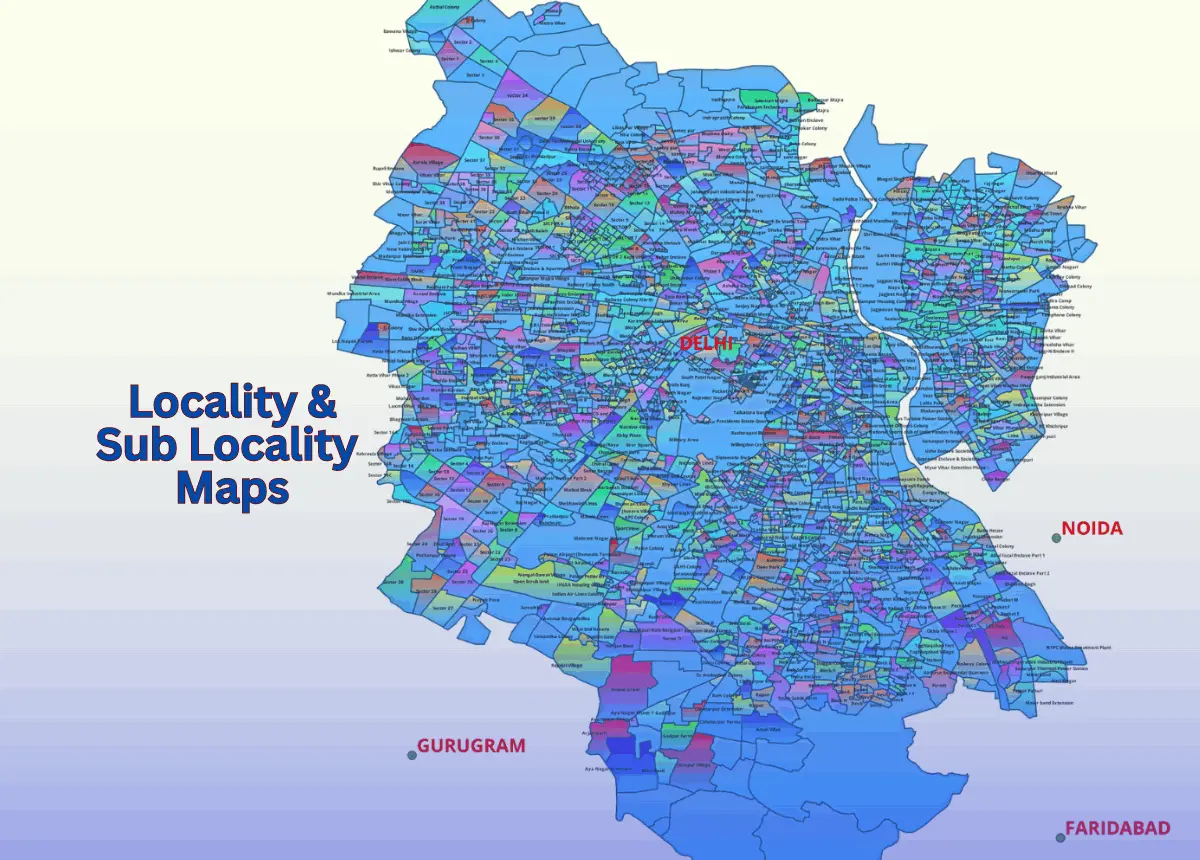
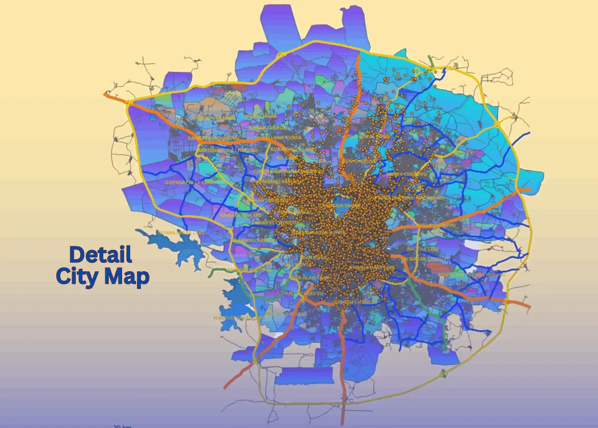
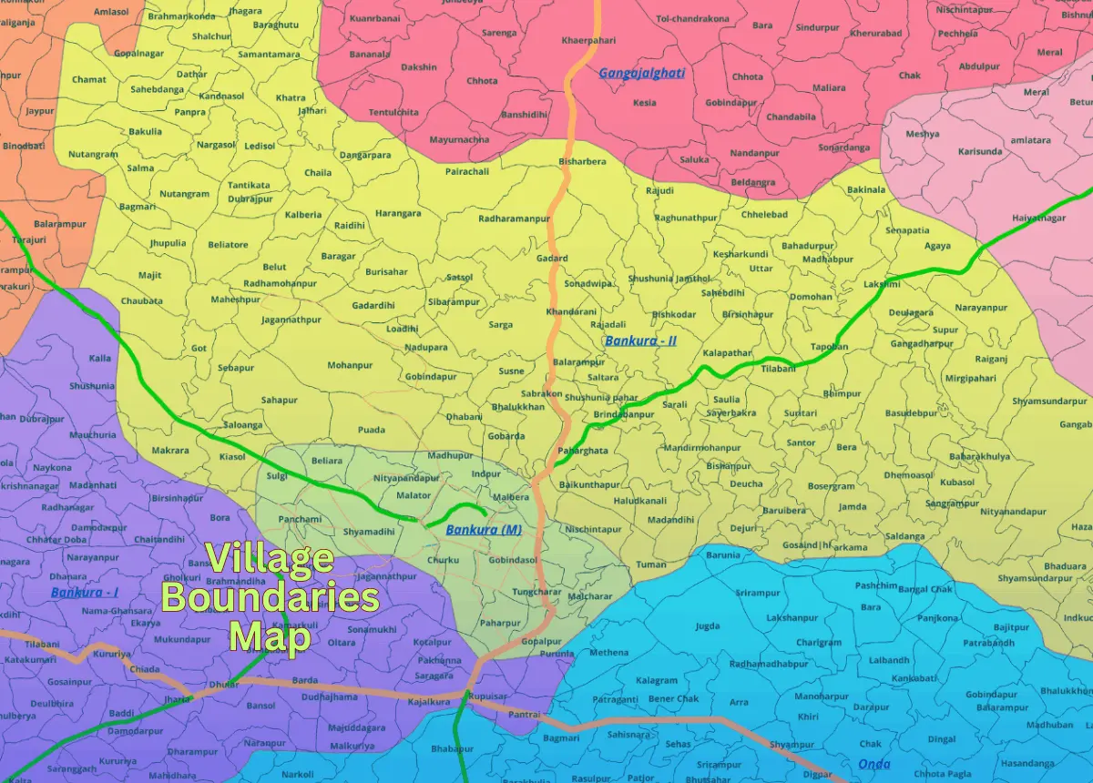
Ward Map Data For Cities And Town From State and Ut's 

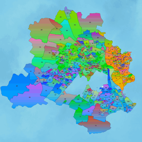
GISMAP IN provides comprehensive Ward GIS Maps to significantly improve urban planning, governance, and public service delivery across numerous cities, towns, municipal corporations, municipal councils, municipalities, Nagar Nigams, Nagar Parishads, and Nagar Panchayats throughout various states and Union Territories of India. Our GIS maps support urban planners, local authorities, and stakeholders by offering precise data in a wide array of formats, including SHP, KML, KMZ, GeoJSON, SVG, TIFF, and TAB, ensuring compatibility and ease of integration with existing geographic information systems. These maps are essential tools for smarter city management and development initiatives.

India States & UT's - Cities Towns Ward Map Data.

Features & Key Benifits

Visual Record of the City.

Offers a comprehensive graphical representation of the city's layout and administrative divisions.

Understanding City History.

Helps in exploring the city's past by providing detailed maps that illustrate historical boundaries and growth patterns.

Outline of Extended Neighborhoods

Clearly delineates the city's extended neighborhoods, helping residents and planners understand the broader urban landscape.

Diverse Analytical Applications.

Supports various types of analysis, including crime mapping, socioeconomic studies, and demographic research.

Population and Housing Data.

Provides critical information on ward population sizes, housing statistics, and density patterns.

Economic and Social Indicators.

Includes data on income levels, health metrics, and educational attainment, supporting policy-making and community development efforts.

Extensive Coverage.

Available for most of the major cities in India, based on authentic and updated sources/references, ensuring reliability and accuracy for various applications.

Aligned with Municipal Corporations and Census.

Wards are structured in accordance with municipal corporations and census data, ensuring consistency and compatibility with official administrative boundaries for effective governance and planning.

File Format

India GIS Data File Format GISMAP IN

EPS

India GIS Data File Format GISMAP IN

CSV

India GIS Data File Format GISMAP IN

JPEG

India GIS Data File Format GISMAP IN

KML

India GIS Data File Format GISMAP IN

KMZ

India GIS Data File Format GISMAP IN

PDF

India GIS Data File Format GISMAP IN

Esri Shape File

India GIS Data File Format GISMAP IN

Geojson

India GIS Data File Format GISMAP IN

SVG

India GIS Data File Format GISMAP IN

PSD

India GIS Data File Format GISMAP IN

TIFF

India GIS Data File Format GISMAP IN

TAB

Potential Users for Data

Potential Users for GISMAP IN Gis Data

Governments

Potential Users for GISMAP IN Gis Data

FMCG

Potential Users for GISMAP IN Gis Data

Sales And Marketting

Potential Users for GISMAP IN Gis Data

Real Estate

Potential Users for GISMAP IN Gis Data

E-Commerce

Potential Users for GISMAP IN Gis Data

Urban Planning

Potential Users for GISMAP IN Gis Data

Banks

Potential Users for GISMAP IN Gis Data

Market Planning Teams

Potential Users for GISMAP IN Gis Data

Political Parties

Other Services

6 Digit PIN Code Map Data
Village Boundaries Map
Detail City Level Map Data

Get in Touch

Reach Us

  • Phone: +91 8762727187
  • Email: mapsgis@gismaps.in
  • Address: Belgaum, Karnataka, India.
  • Working Hours: Mon-Fri: 9am-5pm

Website Builder Software