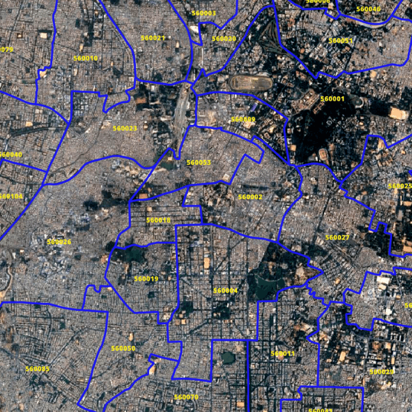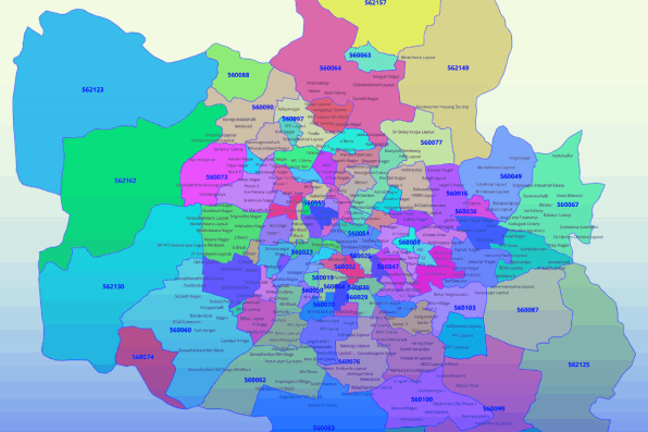


India's Postal Index Number (PIN), colloquially known as Pin code, is an integral part of India Post's postal code system. Consisting of 6 digits, each code provides crucial information: the first digit denotes the region, the second signifies the sub-region, the third indicates the sorting district, and the last three digits represent the specific post office.
India is divided into nine PIN zones, each playing a vital role in the postal network's functioning.
Our PIN code map data meticulously assigns a unique code to every village and locality across India, facilitating smooth postal operations and ensuring prompt mail delivery nationwide.
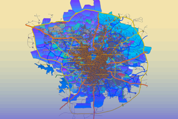
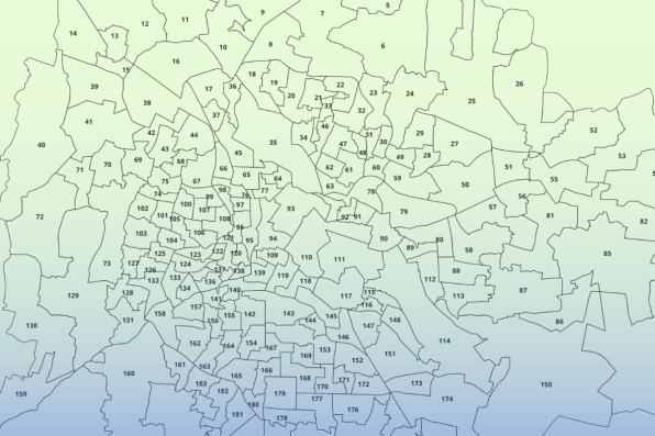
The complete dataset for PIN Code boundaries across India includes detailed information on 6-digit PIN Code, along with the respective state names and state codes for each PIN Code region. In conducting geomarketing or business intelligence analysis, a critical factor is accurately locating your customers and sales network geographically. However, India's relative addressing system presents a significant challenge in this regard. PIN Code data serves as a fundamental tool for pinpointing customer and sales network locations on the map. GISMAP IN provides precise PIN code data.
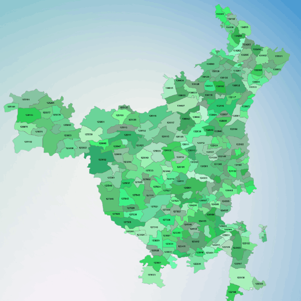
GISMAP IN provides highly accurate PIN Code Boundary Data, particularly at the city and town levels. Our data coverage spans across all states and Union Territories (UTs) of India, ensuring up-to-date information.
