India Village Boundaries Map Data. 
Detailed Village-Level Maps for All Indian States and Districts, Integrated with Postal Codes and Census Data, Available in Various GIS Formats.

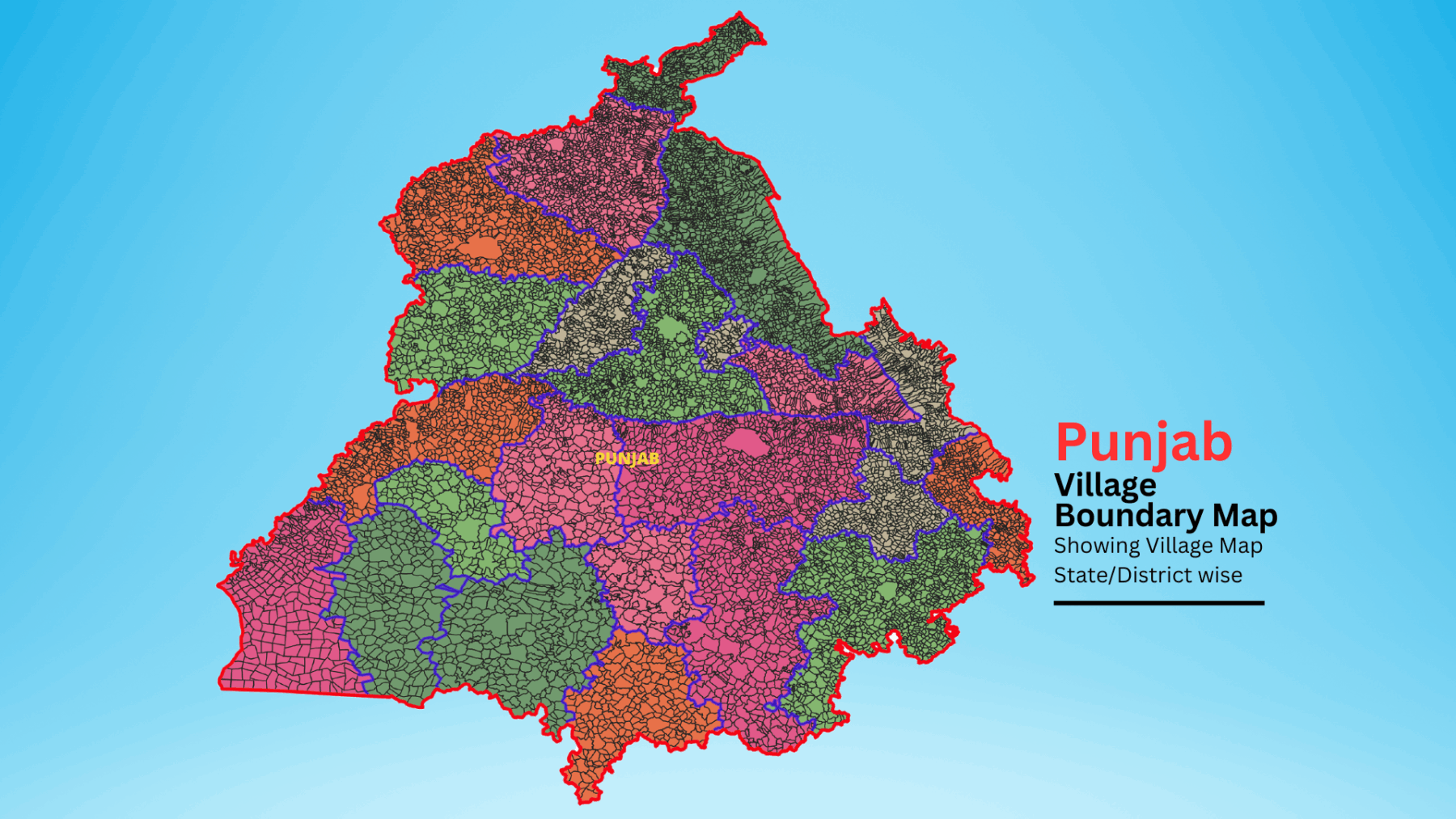
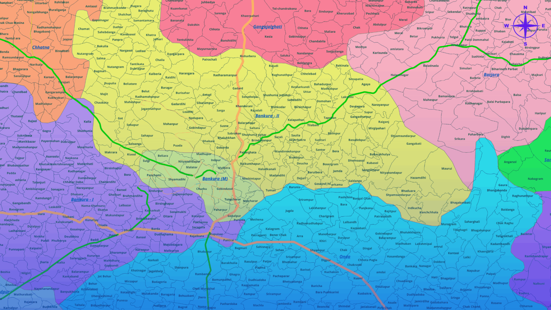
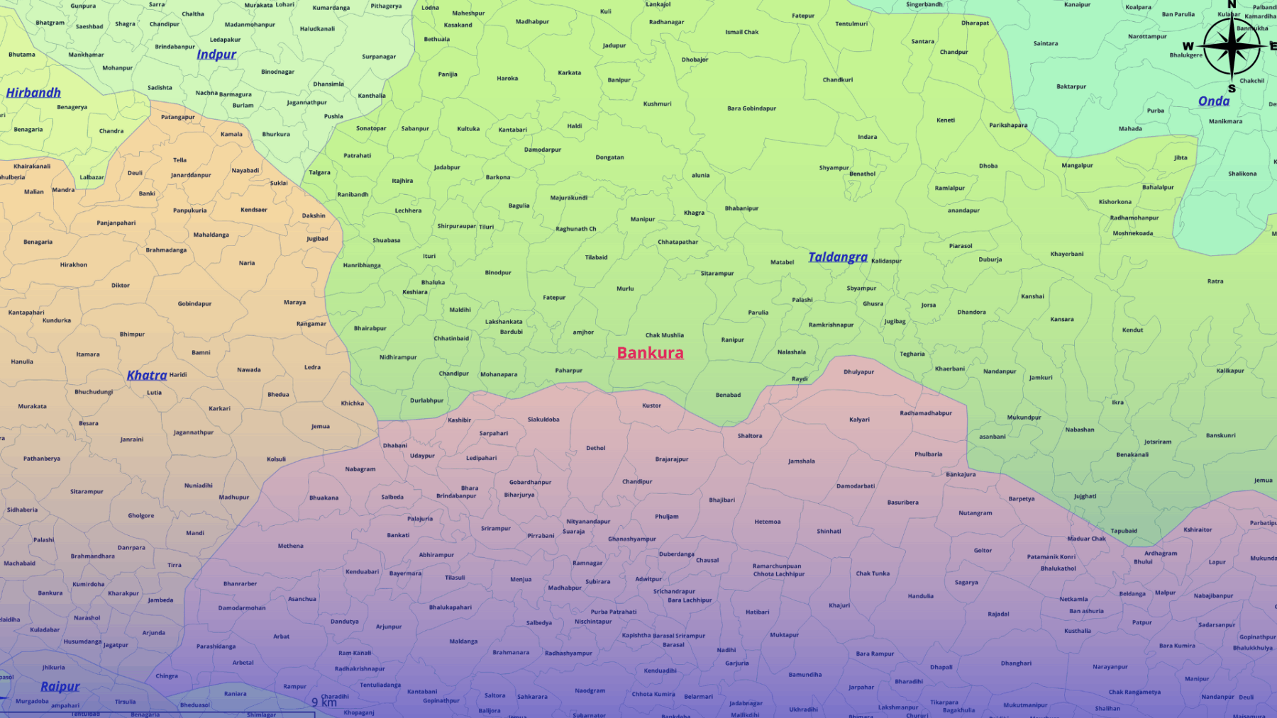
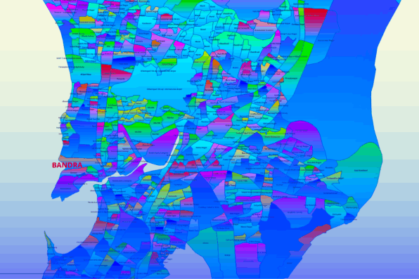
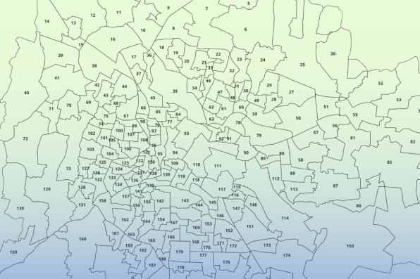
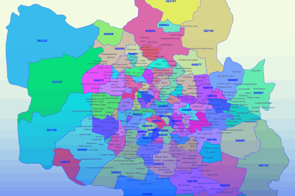
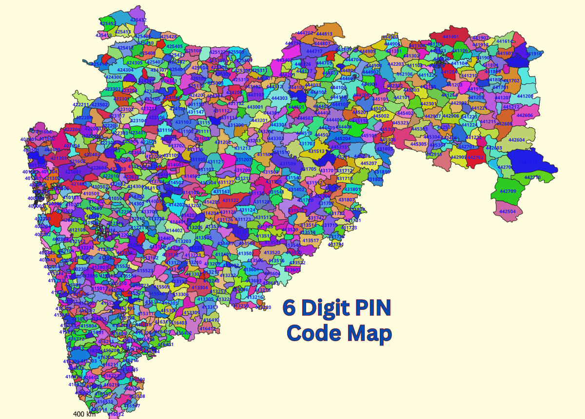
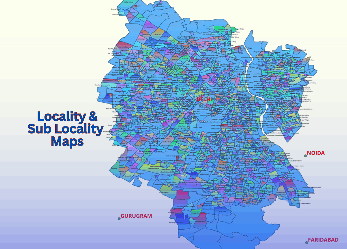
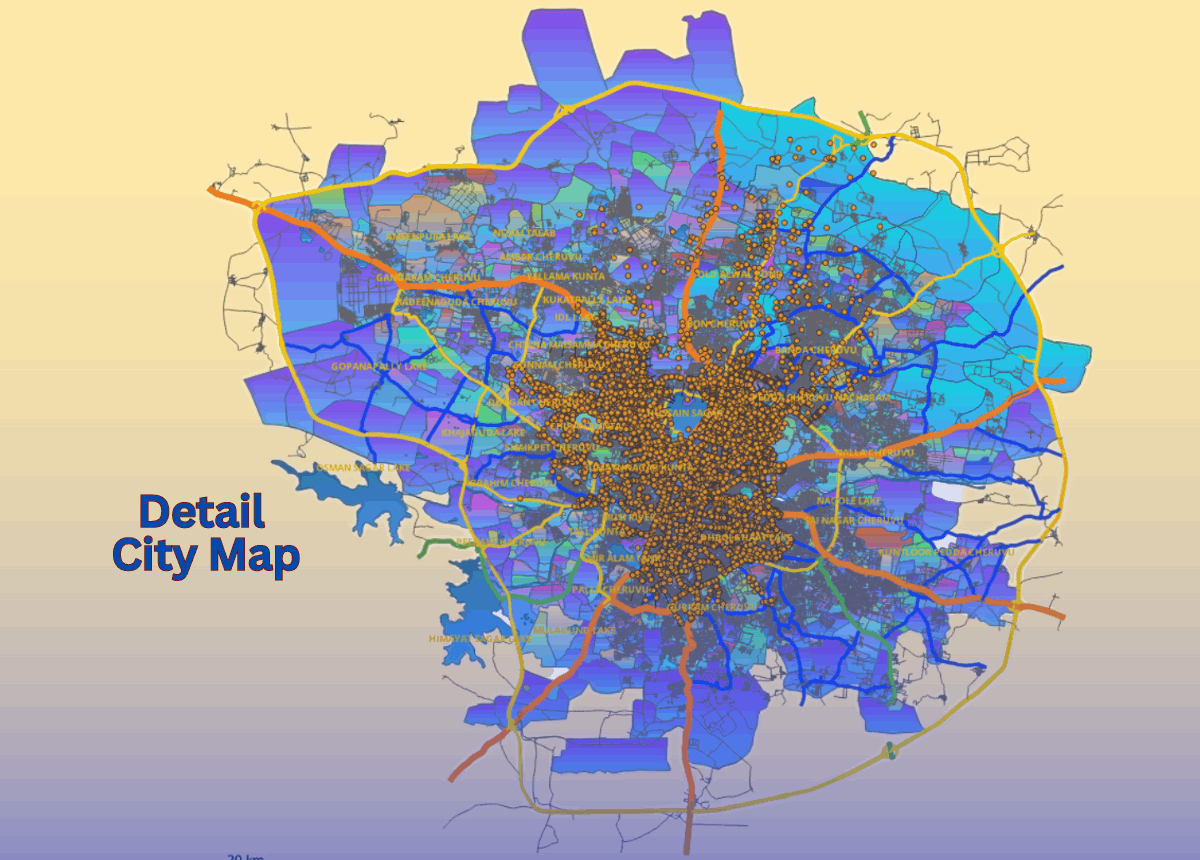
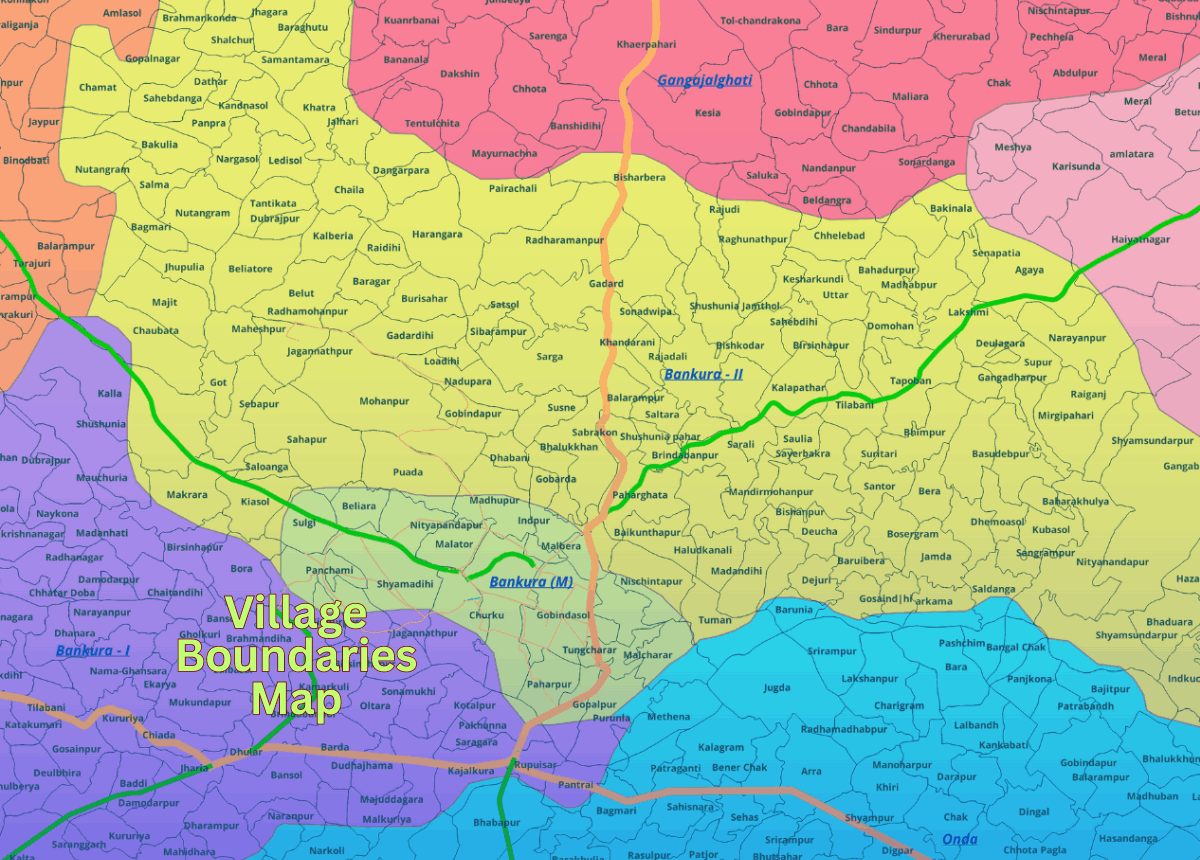
We offer comprehensive village-level location maps for all states and districts across India. Our detailed village map data can be seamlessly integrated with postal codes and census-related data, providing a rich foundation for various analytical and planning purposes.

The map data is available in multiple GIS formats, including MapInfo TAB, ESRI Shapefile, and other commonly used formats, ensuring wide compatibility and ease of use across different GIS platforms and applications.

 This flexibility allows users to leverage our data for diverse needs such as demographic analysis, infrastructure planning, resource allocation, and more. Additionally, our maps are regularly updated to maintain accuracy and relevance, providing reliable data for your projects.

Village Boundaries
Map District-wise Data.


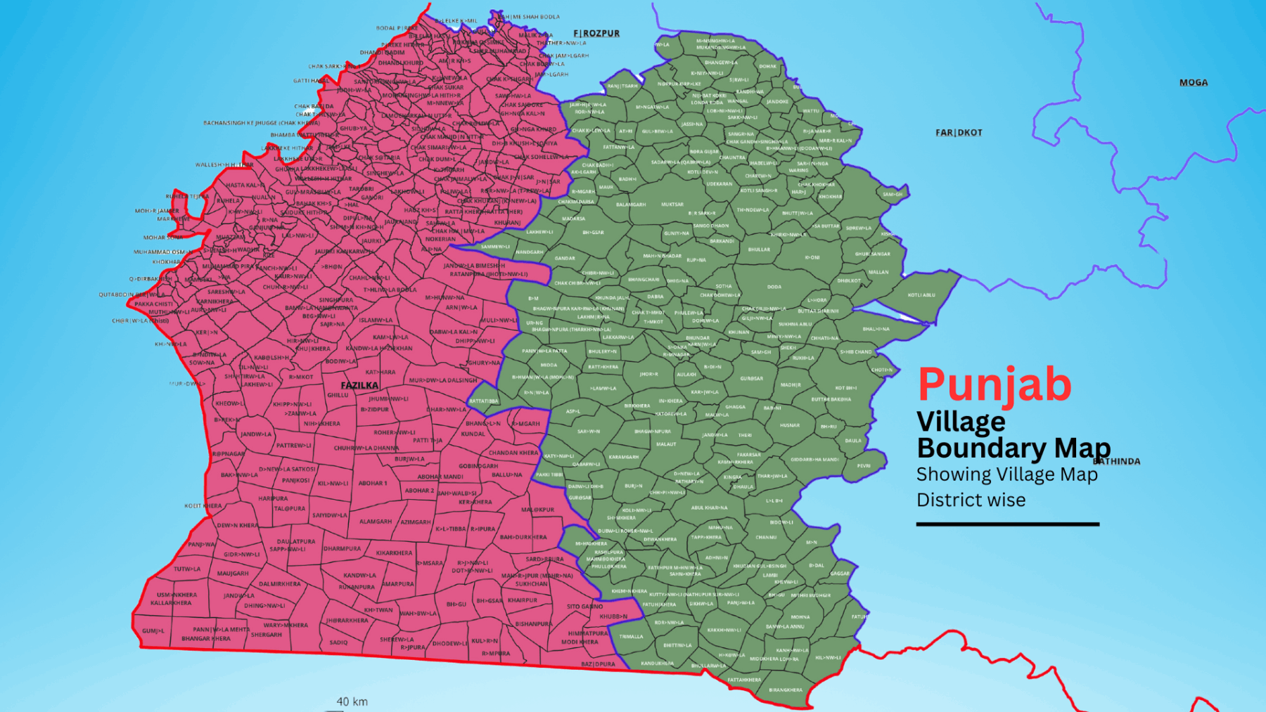
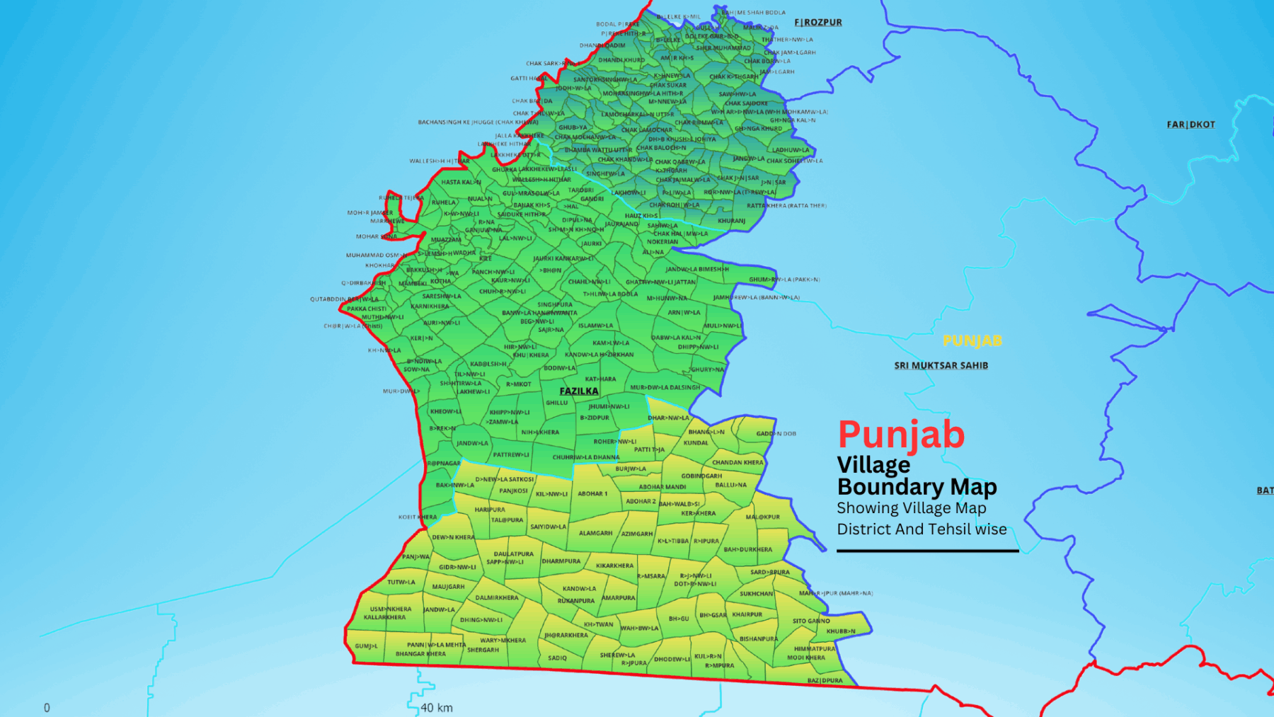
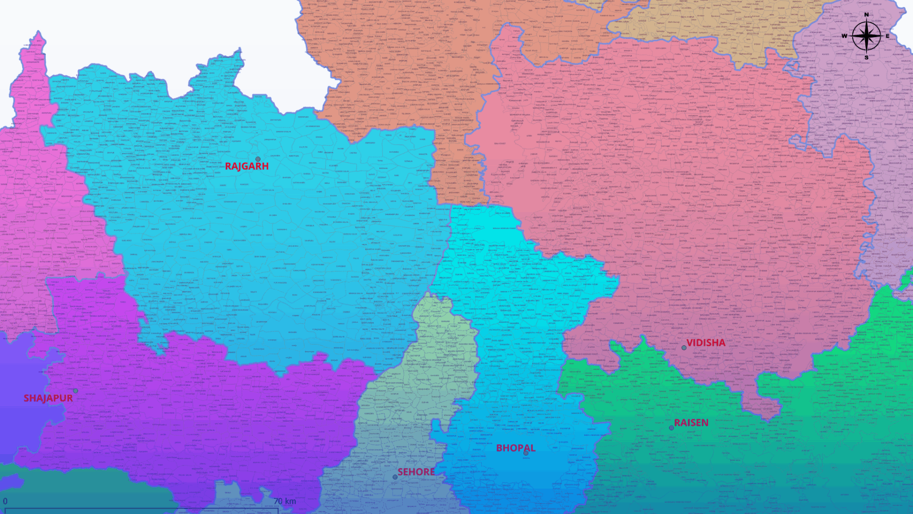
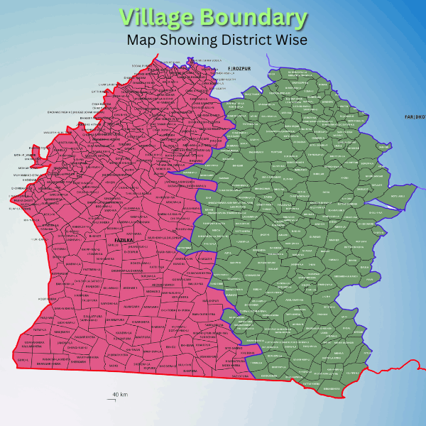
Our village boundary maps provide detailed coverage for all Indian states and districts, integrated with postal codes and census data. Available in multiple GIS formats, including MapInfo TAB and ESRI Shapefile, these maps are perfect for demographic analysis, infrastructure planning, and resource allocation. Regular updates ensure accuracy and reliability for all your projects.

India Village Map Showing District Wise Map GISMAP IN

Village Boundaries
Map Tehsil-wise Data.

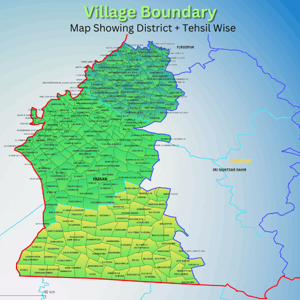
Tehsil-wise village boundary maps, integrated with postal codes and census data, ideal for planning and analysis. Available in multiple GIS formats for versatile usage.

India Village Map Showing District Wise Map GISMAP IN

Features & Key Benifits

Social Mapping.

Illustrates village layouts, including houses, streets, hamlets, and infrastructure, aiding in comprehensive social mapping.

School Location Identification.

Facilitates pinpointing optimal locations for school openings, enhancing educational accessibility within villages..

Infrastructure Assessment

Enables evaluation of village status, infrastructure, and employment opportunities, supporting informed decision-making and resource allocation.

Development Needs Identification.

Identifies infrastructural and developmental requirements within villages, informing planning initiatives and resource distribution for sustainable growth.

Updated Census Integration.

Data aligned with Census 2011, including new state/district/sub district boundaries post-2011, ensuring relevance and accuracy

Census-Backed Attributes.

 Supported by robust Census population 2011 data as GIS attributes, enhancing analytical capabilities for rural planning and decision-making

Versatile Format Availability

Accessible in various formats, including GIS, catering to diverse user preferences and requirements.

Customization

Our data is highly customizable, allowing clients to tailor their analyses and visualizations to meet their specific requirements. Whether it's adjusting map layers, adding custom data points, or defining specific parameters, our dataset can be adapted to suit the unique needs of each client.

File Format

India GIS Data File Format GISMAP IN

EPS

India GIS Data File Format GISMAP IN

CSV

India GIS Data File Format GISMAP IN

JPEG

India GIS Data File Format GISMAP IN

KML

India GIS Data File Format GISMAP IN

KMZ

India GIS Data File Format GISMAP IN

PDF

India GIS Data File Format GISMAP IN

Esri Shape File

India GIS Data File Format GISMAP IN

Geojson

India GIS Data File Format GISMAP IN

SVG

India GIS Data File Format GISMAP IN

PSD

India GIS Data File Format GISMAP IN

TIFF

India GIS Data File Format GISMAP IN

TAB

Potential Users for Data

Potential Users for GISMAP IN Gis Data

Governments

Potential Users for GISMAP IN Gis Data

Educational Institutes

Potential Users for GISMAP IN Gis Data

FMCG

Potential Users for GISMAP IN Gis Data

Banking

Potential Users for GISMAP IN Gis Data

Sales And Marketting

Map Data Products

Locality And Sub Localities Boundaries Map
Locality Sub Loc  Boundaries Map 
Ward Boundaries Map for Cities And Towns
Ward Boundaries Map for Cities 
Detail Street Level Maps Of Cities And Towns
Street Level Maps Of Cities
6 Digit PIN Code Boundaries Map

Why Choose GISMAP IN ?

1000+

Happy Clients
National & International

200+

Projects

60+

Client Countries

20+

Years of Mapping Experience

Some Of Our Clients Are

GISMAP IN India GIS Data Clients

Other Services

6 Digit PIN Code Map Data
Village Boundaries Map
Detail City Level Map Data

Get in Touch

Reach Us

  • Phone: +91 8762727187
  • Email: mapsgis@gismaps.in
  • Address: Belgaum, Karnataka, India.
  • Working Hours: Mon-Fri: 9am-5pm

Drag & Drop Website Builder