


We offer a comprehensive range of city-level GIS data sets. Our GIS map data products cover all metro cities like Delhi, Mumbai, Kolkata, Bangalore, Chennai, Hyderabad, and Pune, as well as major cities such as Ahmedabad, among others.
The map data is available in different file formats, ensuring compatibility with various platforms and applications.
Our data sets include detailed street-level maps, providing granular insights into city infrastructure. Additionally, our map data is always up-to-date, ensuring accuracy and reliability for your projects.
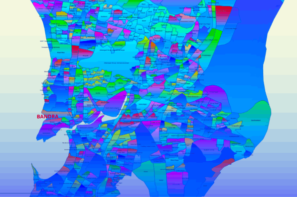
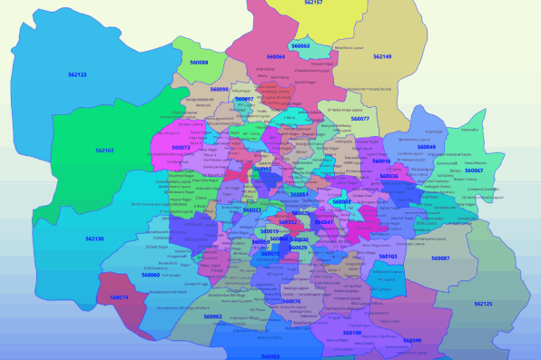
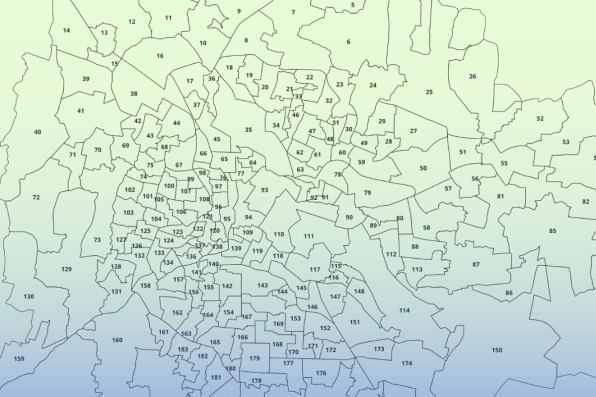
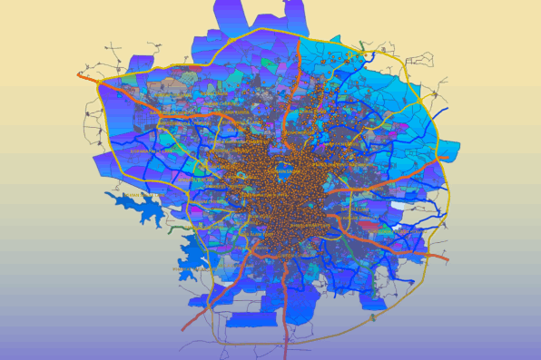
Our city GIS data sets include comprehensive layers for detailed analysis, covering administrative boundaries such as city, ward, locality, and postal code boundaries. Transportation layers include national and express highways, state and district highways, major roads (arterial), minor roads (collector and residential), and railway lines. Points of Interest (POI) for landmarks, as well as other layers like water areas (rivers, ponds, nalas, lakes) and green areas, are also included. The map data is available in multiple formats, including Esri Shape files, MapInfo TAB, MID/MIF, and more, ensuring compatibility with various GIS platforms and applications.
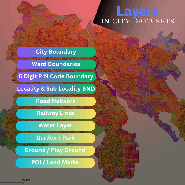
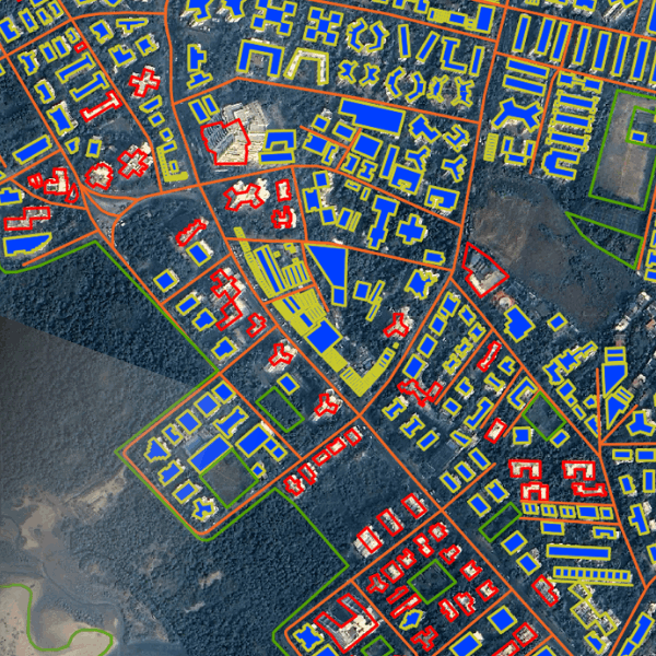
Our city-level map data sets excel in providing detailed street-level road networks and comprehensive building information, facilitating precise spatial analysis and planning. With rich layers of data, our maps empower users to explore urban environments with unparalleled accuracy and insight.








Website Building Software