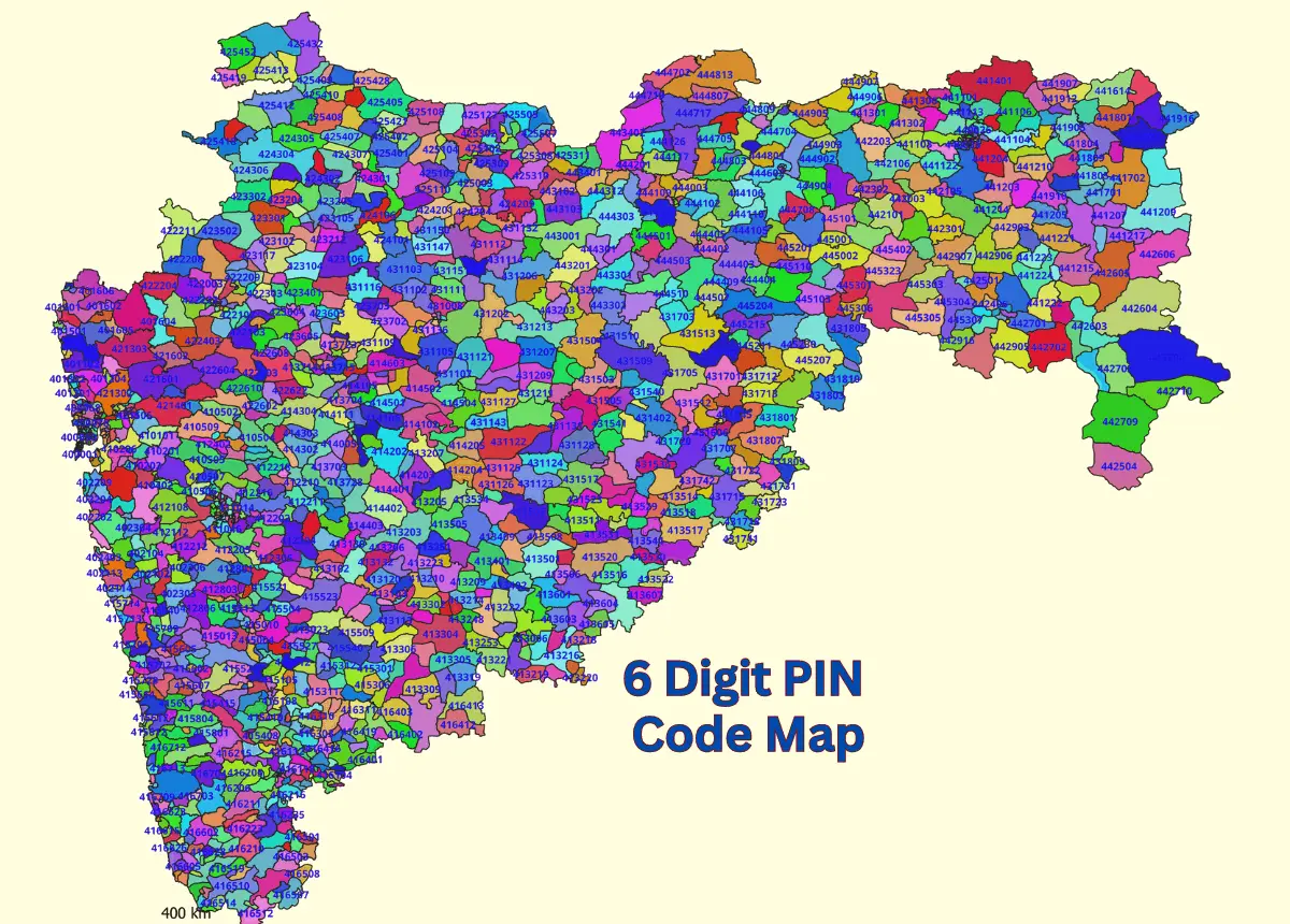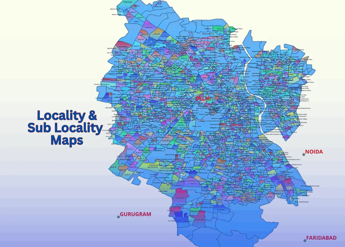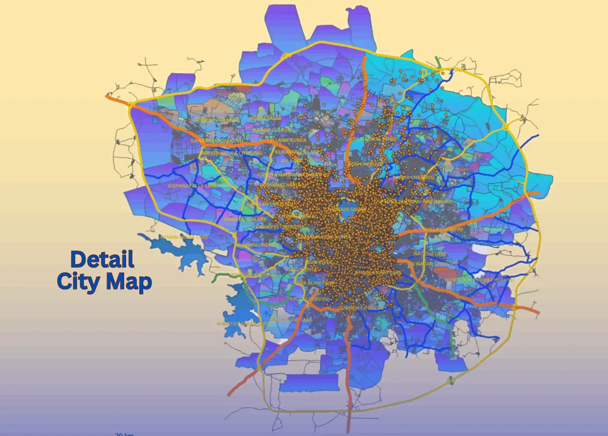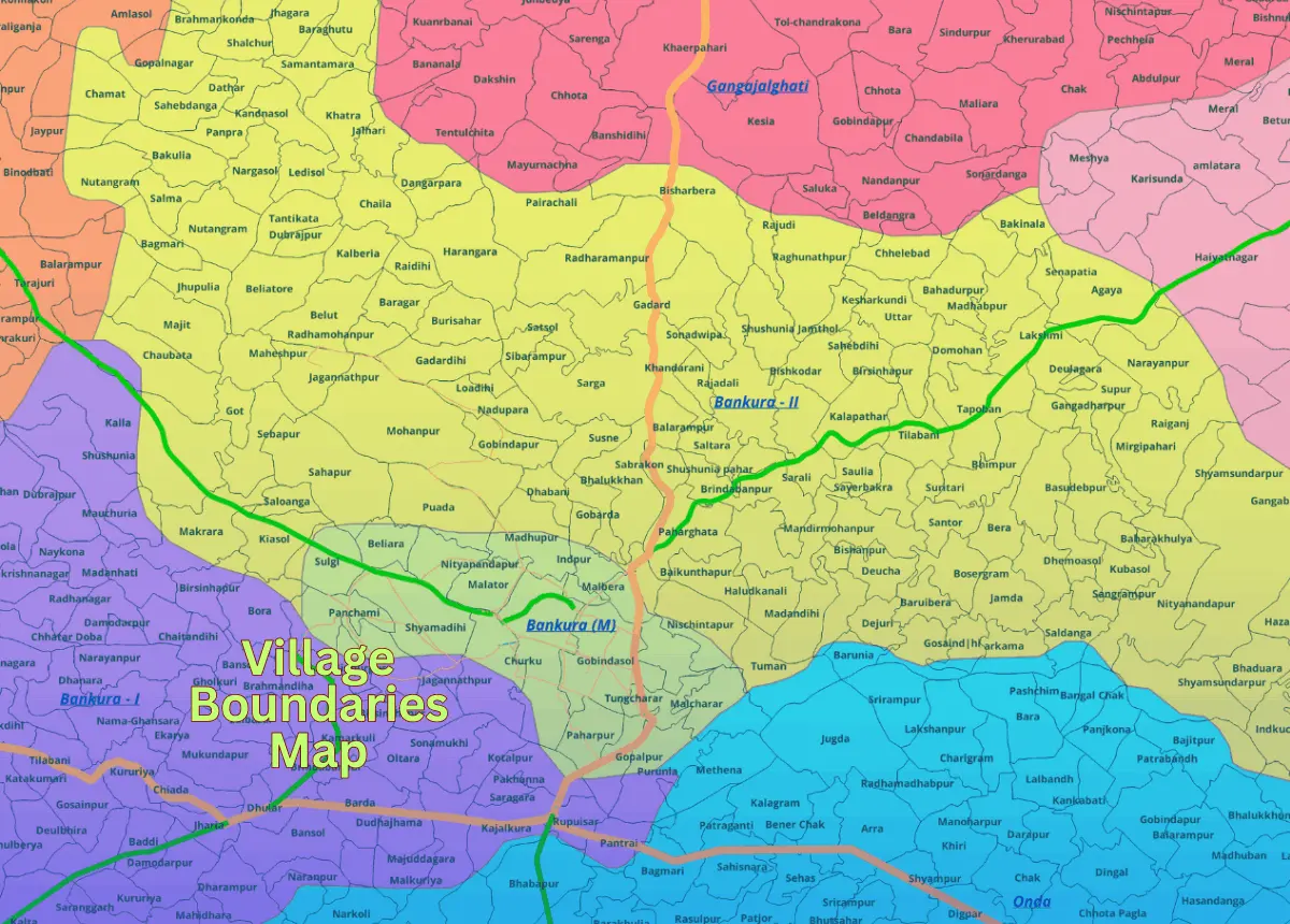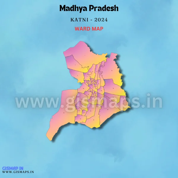
Katni Ward Map GIS Data For Cities and Towns
Katni, located at the junction of important railway lines, is known for its marble industry and proximity to mineral-rich areas. As per Census 2011, Katni has a population of 221,875. GISMAP IN provides ward GIS map data in formats like SHP, KML, KMZ, GeoJSON, SVG, TIFF, and TAB.