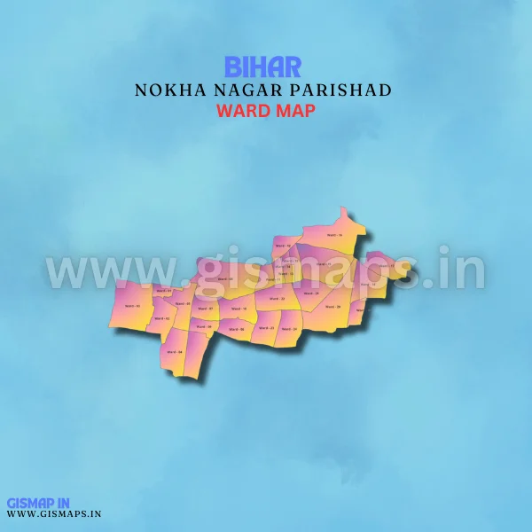
Nokha Nagar Parishad Ward Map
Nokha, situated in Rohtas district, is an industrial town known for its rice mills and other small-scale industries. With a population of about 27,000 (Census 2011), GISMAP IN provides ward GIS map data in formats such as SHP, KML, KMZ, GeoJSON, SVG, TIFF, and TAB.