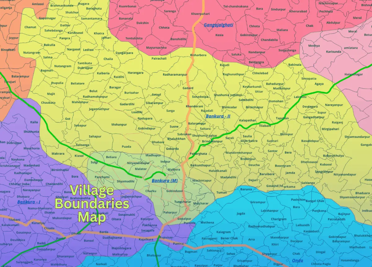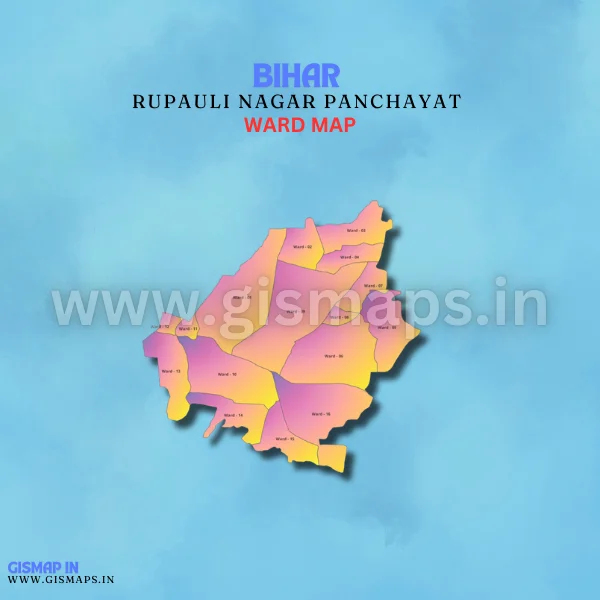
Rupauli Nagar Panchayat Ward Map
Rupauli, located in Purnea district, is a small town that serves as a hub for agricultural activities, particularly rice and maize cultivation. With a population of about 14,000 (Census 2011), GISMAP IN provides ward GIS map data in formats such as SHP, KML, KMZ, GeoJSON, SVG, TIFF, and TAB.