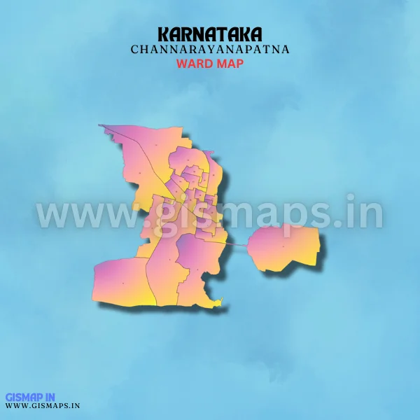
Channarayanapatna Ward Map (Karnataka)
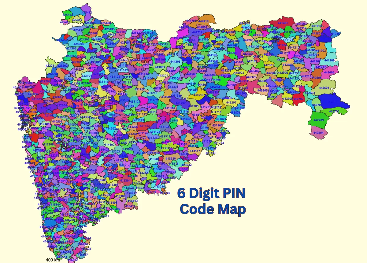
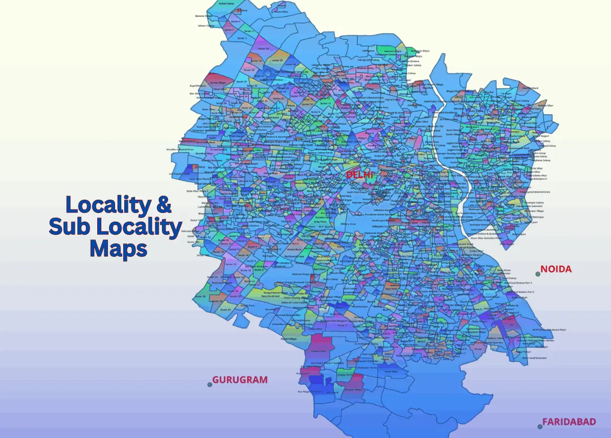
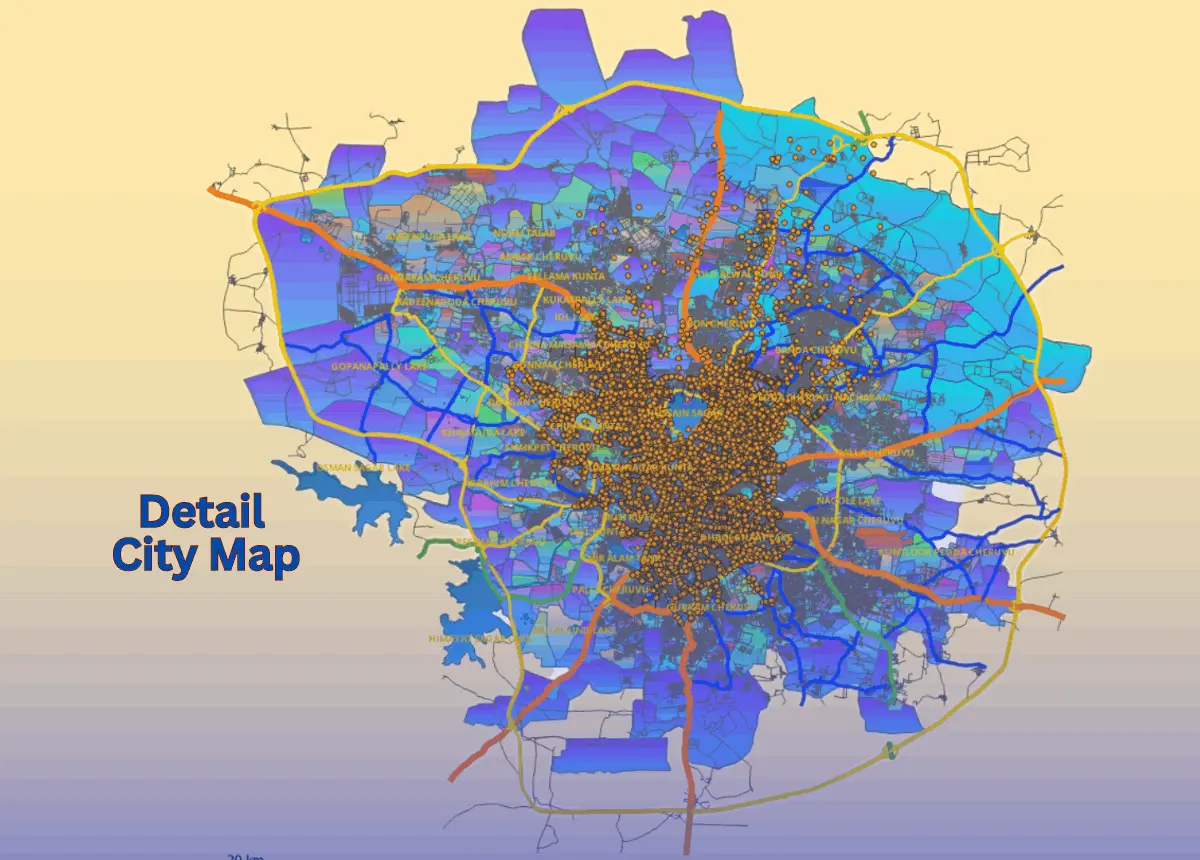
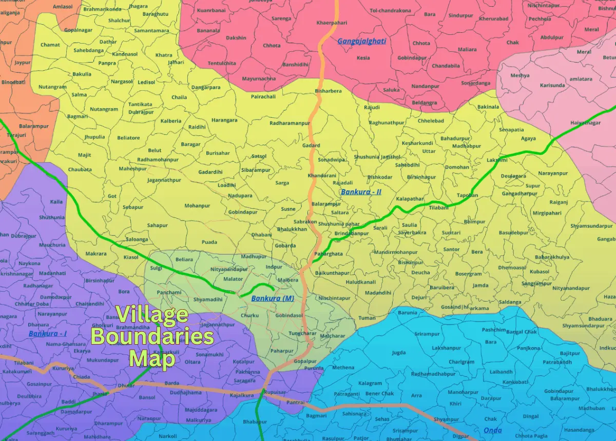
Channarayanapatna is situated in Hassan district and is known for its agricultural activities, especially sugarcane and paddy cultivation. The town has a peaceful, rural atmosphere with a population of approximately 25,000 (Census 2011). GISMAP IN offers ward GIS map data in formats such as SHP, KML, KMZ, GeoJSON, SVG, TIFF, and TAB.