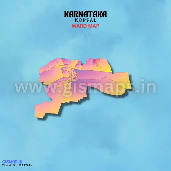
Koppal Ward Map (Karnataka)
Koppal, located in the Koppal district, is historically significant as it has connections to ancient empires. Today, it is a growing hub for agriculture and industry. The town is known for the cultivation of pulses, cotton, and groundnuts. The population of Koppal is 69,529 (Census 2011). GISMAP IN provides ward GIS map data in formats like SHP, KML, KMZ, GeoJSON, SVG, TIFF, and TAB.