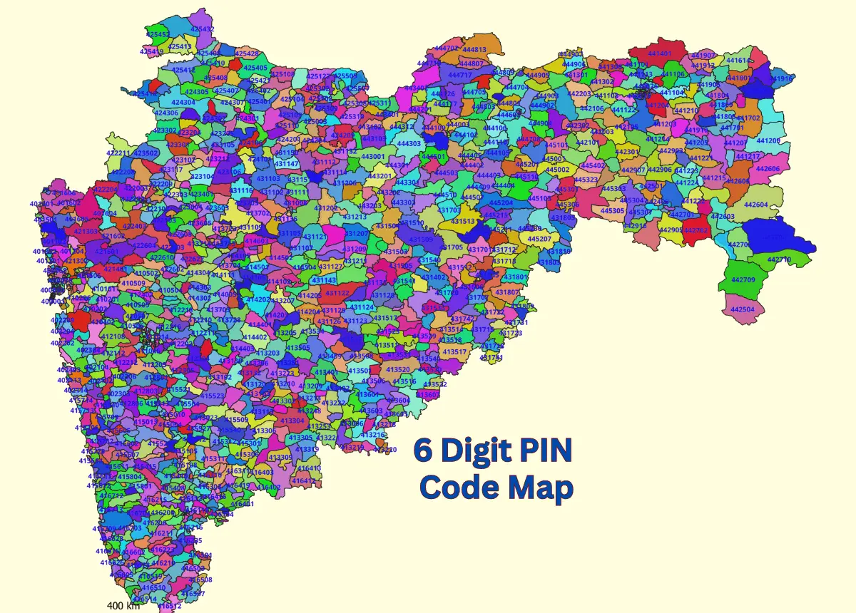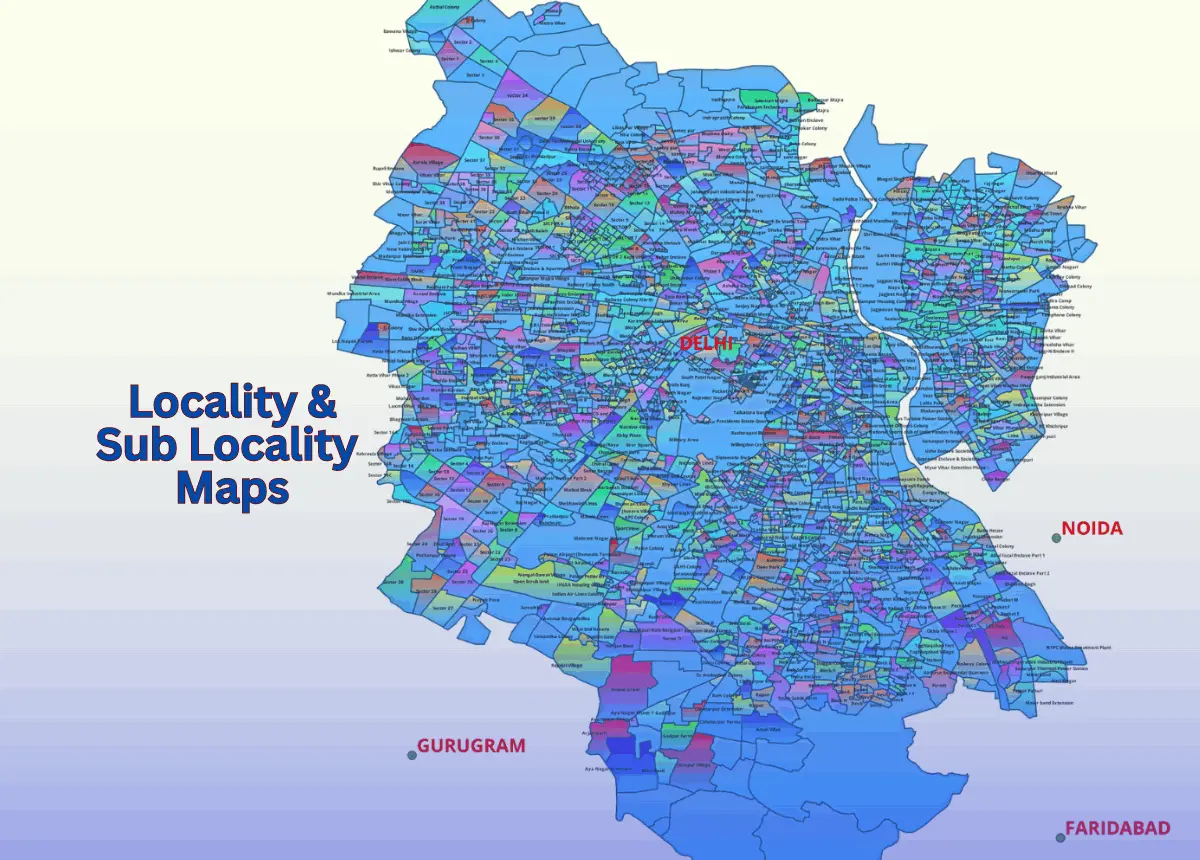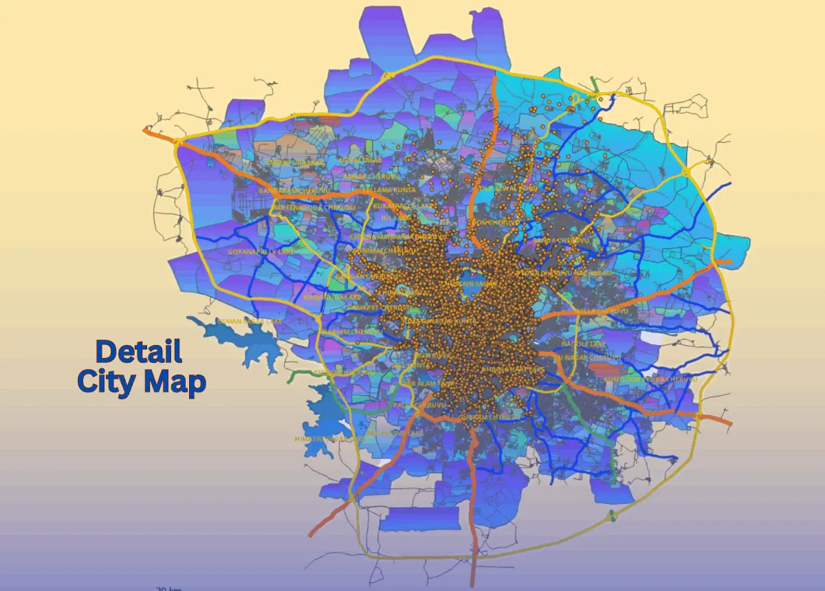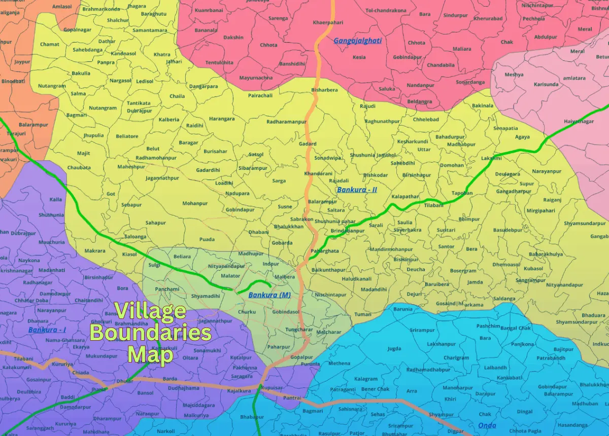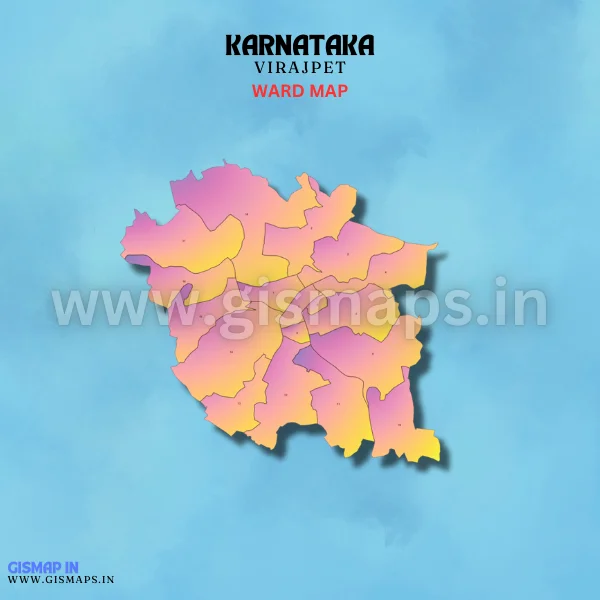
Virajpet Ward Map (Karnataka)
Virajpet, located in Kodagu district, is known for its scenic beauty and coffee plantations. The town is a popular tourist destination, offering various activities for nature lovers. According to Census 2011, Virajpet has a population of 14,078. GISMAP IN provides ward GIS map data in formats like SHP, KML, KMZ, GeoJSON, SVG, TIFF, and TAB.