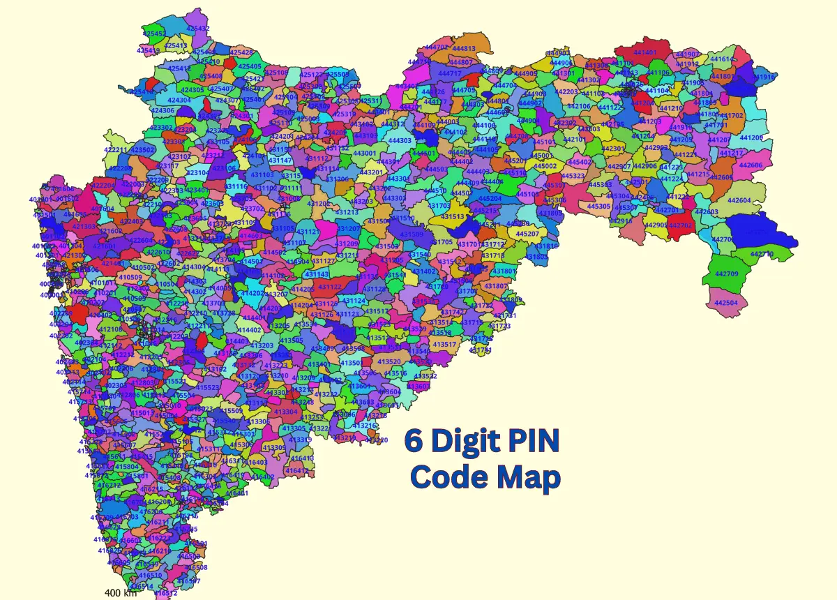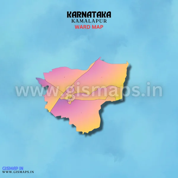
Kamalapur Ward Map (Karnataka)
Kamalapur, located near Hampi in the Vijayanagara district, is a town of historical significance. It serves as a gateway for tourists visiting the Hampi ruins, which are a UNESCO World Heritage Site. Agriculture and tourism are vital to the local economy, making Kamalapur a unique blend of history and rural life. GISMAP IN provides ward GIS map data in formats like SHP, KML, KMZ, GeoJSON, SVG, TIFF, and TAB.