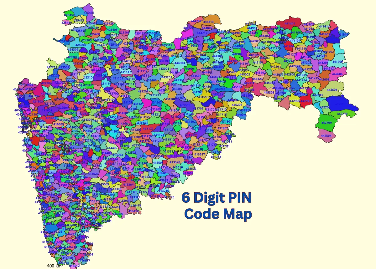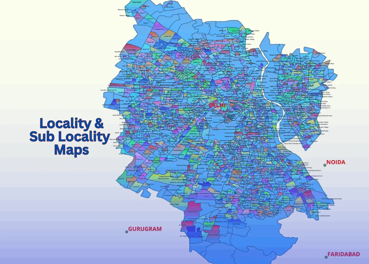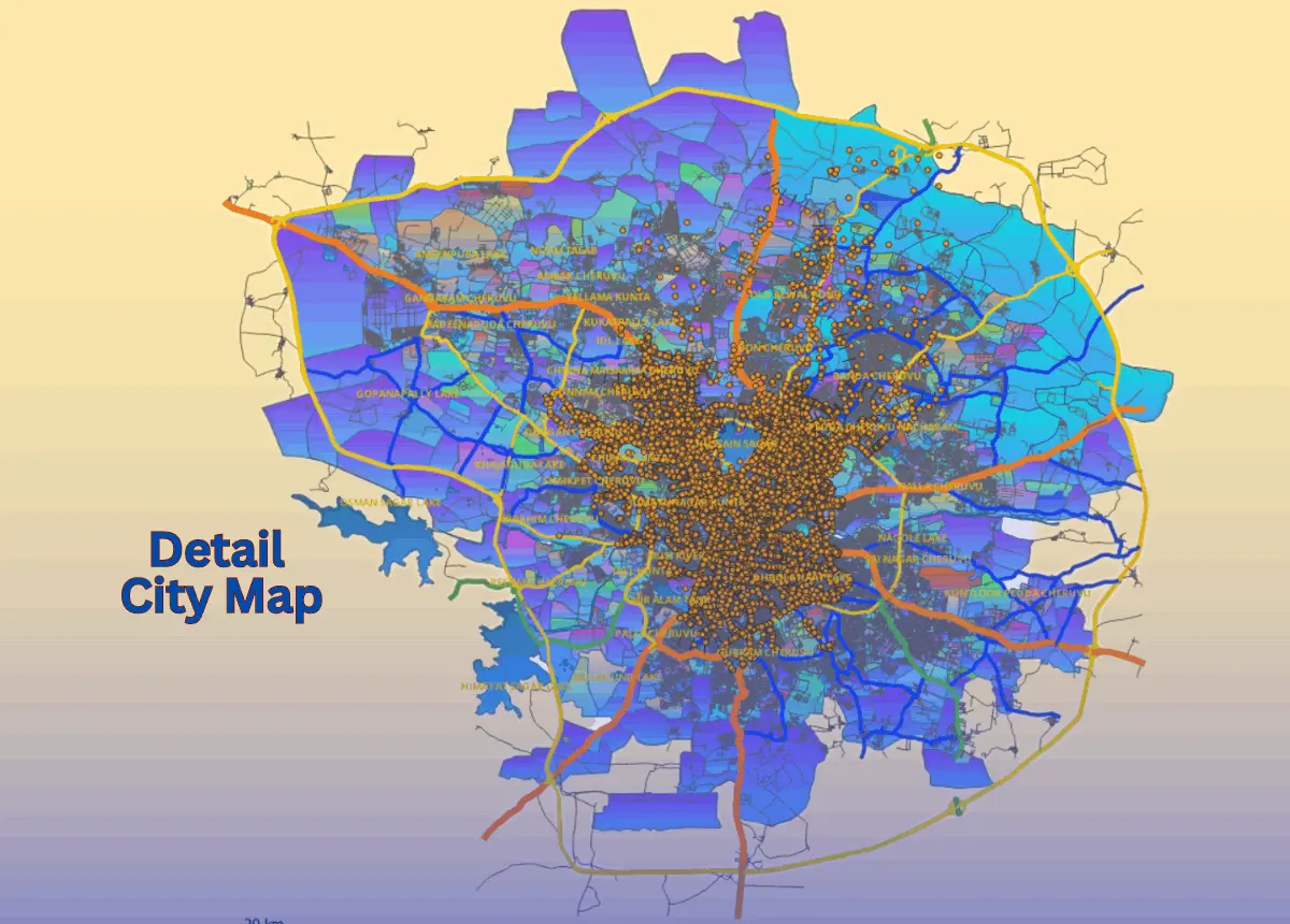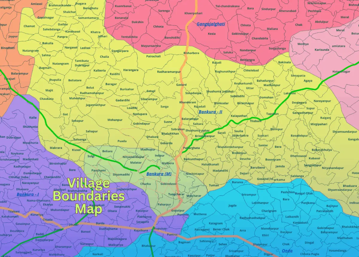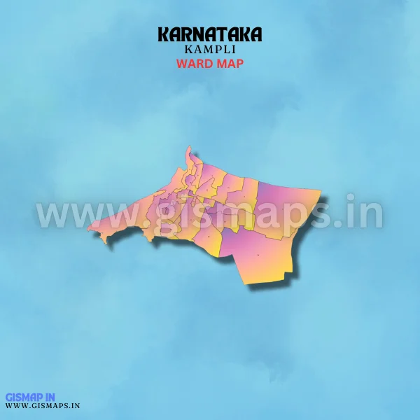
Kampli Ward Map (Karnataka)
Kampli, located in the Ballari district, is known for its proximity to the historical town of Hampi. The town plays a role in the region’s tourism sector, while agriculture, including the cultivation of cotton and paddy, is a major part of the economy. Kampli has a rich historical and cultural backdrop. The population of Kampli is 37,476 (Census 2011). GISMAP IN provides ward GIS map data in formats like SHP, KML, KMZ, GeoJSON, SVG, TIFF, and TAB.