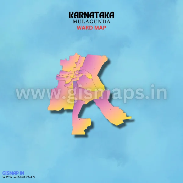
Mulagunda Ward Map (Karnataka)
Mulagunda, situated in Gadag district, is a village known for its farming activities, contributing to the local economy. It offers a traditional village atmosphere. Census 2011 records Mulagunda’s population at 5,319. GISMAP IN provides ward GIS map data in formats like SHP, KML, KMZ, GeoJSON, SVG, TIFF, and TAB.