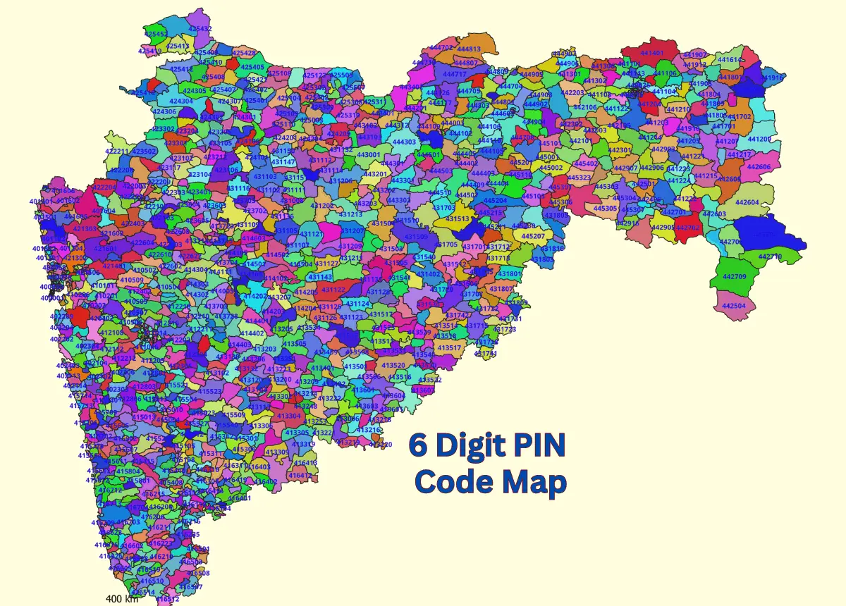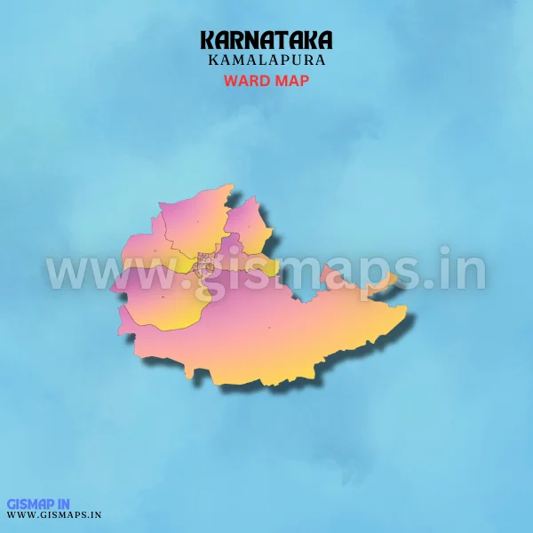
Kamalapura Ward Map (Karnataka)
Kamalapura, situated in the Yadgir district, is primarily an agricultural town. The local economy is driven by the cultivation of crops like cotton, maize, and pulses. Kamalapura is a peaceful rural town with a strong connection to its agricultural roots. GISMAP IN provides ward GIS map data in formats like SHP, KML, KMZ, GeoJSON, SVG, TIFF, and TAB.