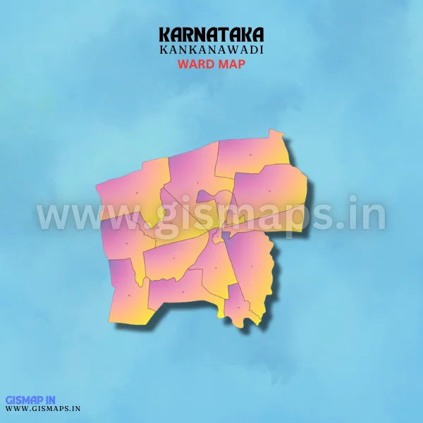
Kankanawadi Ward Map (Karnataka)
Kankanawadi, situated in the Belagavi district, is a small village known for its agricultural practices. The fertile land supports the cultivation of sugarcane, maize, and pulses. The town has a peaceful rural atmosphere, with farming being the primary livelihood of its residents. GISMAP IN provides ward GIS map data in formats like SHP, KML, KMZ, GeoJSON, SVG, TIFF, and TAB.