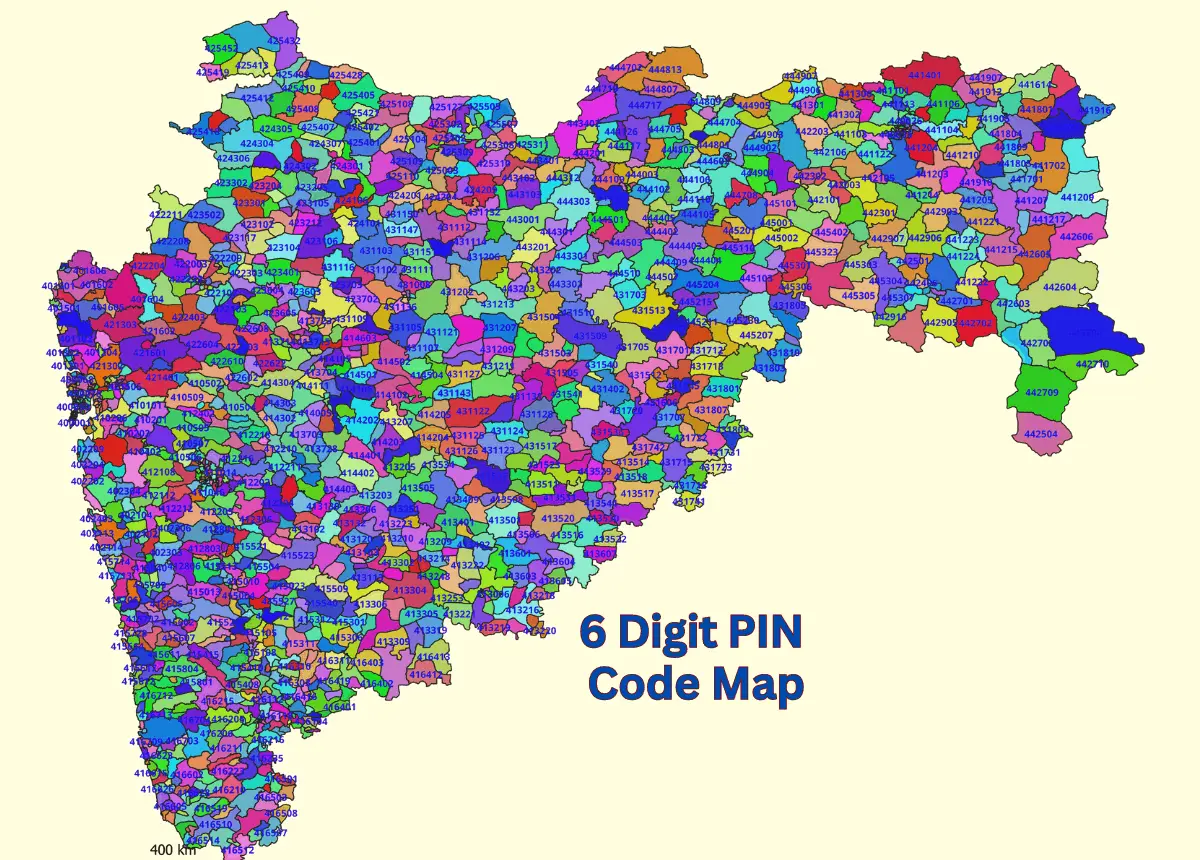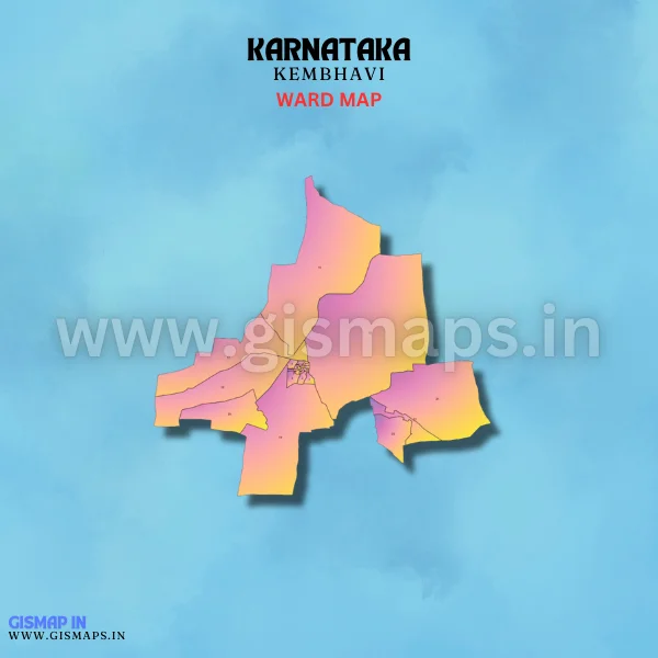
Kembhavi Ward Map (Karnataka)
Kembhavi, located in the Yadgir district, is a small town known for its agricultural activities. The fertile land supports the cultivation of crops like jowar, cotton, and pulses. Kembhavi has a strong rural economy centered on farming and related activities. GISMAP IN provides ward GIS map data in formats like SHP, KML, KMZ, GeoJSON, SVG, TIFF, and TAB.